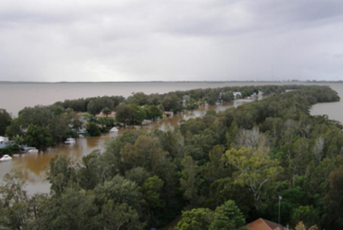
Ourimbah Creek Floodplain Risk Management Study and Plan
The Ourimbah Creek Floodplain Risk Management Study and Plan has been prepared by Central Coast Council with the assistance of funding from the NSW Government (through the NSW Floodplain Management Program) to evaluate the management options available to manage the impacts of flooding in this catchment area.
Status of study and plan
The final study and plan has now been adopted by Council and can be viewed on Council's strategies and plans page.
The draft study and plan was placed on exhibition from 25 March until 26 April 2019 at Council's Wyong and Gosford offices (Monday – Friday, 8:30am-5pm) and online. During this time, community members were invited to provide feedback on the draft Ourimbah Creek Floodplain Risk Management Study and Plan. Drop-in information sessions for the community to discuss the study and plan with staff were also held.
About the Ourimbah Creek catchment
The Ourimbah Creek catchment covers a total area of 160 km2.
Ourimbah Creek generally flows in an easterly direction through state forest and rural properties before passing beneath the Pacific Motorway and Pacific Highway near Palmdale. It continues to flow in a northern and then easterly direction, before passing beneath the Main Northern Railway Line and Wyong Road, eventually discharging into Tuggerah Lake at Chittaway Point.
The catchment also incorporates a number of significant tributaries that are typically situated east of the Pacific Motorway and Pacific Highway. These include Bangalow Creek, Cut Rock Creek, Chittaway Creek, Dog Trap Gully, Canada Drop Down Creek and Kangy Angy Creek.
The Ourimbah Creek catchment west of the Pacific Motorway is typically characterised by state forest and rural land uses. The catchment area on the eastern side of the Pacific Motorway is significantly more developed and incorporates a range of residential, commercial, industrial and rural land uses. A number of major transportation links also extend across the eastern section of the catchment including the Main Northern Railway, the Pacific Highway and the Pacific Motorway, Wyong Road, Enterprise Drive and Chittaway Road.
Got a question?
View the frequently asked questions below - or for more general flood related questions and answers, check out the FAQs on our flood page.
Document Library
Segmented Documents
Timeline
FAQs
Has this study and plan informed the Draft Ourimbah Masterplan and Land Use Strategy?
The flood information (and maps) prepared for Ourimbah Creek were considered as part of the Draft Final Ourimbah Land Use Strategy and Masterplan Study – specifically, flood hazard comments were included under Section 3, Strategy 6. The Draft Ourimbah Creek Flood Plain Study and Risk Management Plan document under section 4.2.1 includes some comment about the Ourimbah Masterplan.
Does this flood study address the current and future hydrology changes caused by the Kangy Angy rail facility?
The draft study and plan does not include any major assessment regarding the effects of the proposed Kangy Angy rail facility – typically these types of studies and plans only address the current status of the floodplain and how to manage it.
The Kangy Angy Rail facility is a state government project, through Transport NSW, which is not required to obtain Council approval. However, they are still required to undertake flood studies and address any significant impacts that the project may cause to adjoining areas of the floodplain. You can view Transport NSW’s flood impact assessment, which they completed as part of their assessment process, for the Kangy Angy rail facility here (Section 4.12, page 88-92 and Appendix D).
Council has recommended that the new access road to the rail facility be upgraded to improve emergency evacuation from the facility and surrounding rural area.

