As part of Central Coast Council’s long-term strategy to update flood mapping, we’re undertaking a flood study for catchments that contribute to four coastal lagoons.
The aim of this study is to improve understanding of flood behaviour and impacts, and better inform management of flood risk in the study area. Additionally it will allow Council to manage flood risk and minimise the impact of flooding and flood liability to residents living within the catchment area.
The study is being prepared by the consultant Manly Hydraulics Laboratory and is funded by Council.
Community consultation
In 2018, Council engaged with the community – through the form of a questionnaire – to identify flooding “trouble spots” and allow for a targeted assessment of where flood risk reduction measures would be best implemented.
The answers from the questionnaires will be used to inform the flood study.
About Coastal Catchment
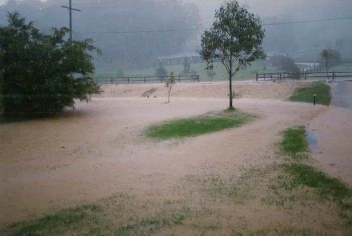
This flood study considers the impacts of floodwaters that originate from heavy or prolonged rain causing stormwater to travel down-slope towards the estuary. This type of flooding is referred to as catchment flooding which is associated with increased creek flows and elevates water levels in the associated lagoons.
The suburbs within the catchment are densely populated and the catchment is drained by a network of channels and stormwater drains. During periods of heavy rainfall, stormwater infrastructure can be overwhelmed, exceeding capacity and there is potential for overland or 'flash' flooding across homes and streets eventually flowing into the coastal lagoons.
For residents within the catchment who have experienced severe flood events in the past, this causes significant disruption and inconvenience. There is also potential for property damage as well as a risk to life.
Got a question?
Check out the frequently asked questions on our flood page.
